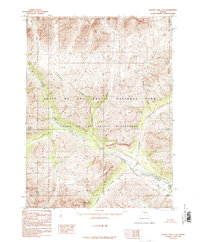
1986 Map of Survey Pass C-3
USGS Topo · Published 1986About this map
The Alatna River and the Unakserak River dominate this interior Alaskan landscape, which was captured during a mid-1980s transition in federal land management. This survey shows the area within the newly established Gates of the Arctic National Park and the overlapping Gates of the Arctic Wilderness, reflecting the region's designation following the Alaska National Interest Lands Conservation Act. The topography is defined by significant drainage networks, including the north-to-south flow of Pegeeluk Creek and the western influence of Ladanan Creek. Smaller tributaries such as Ram Creek and Awlinyak Creek carve through the high-elevation terrain. This provisional edition is devoid of man-made structures or roads, emphasizing the region's character as a roadless expanse during the period of its initial detailed mapping by the U.S. Geological Survey.
Find a feature on this map
15 named features on this map. Tap any name to fly to it.
Don’t see what you’re looking for? This feature index may not catch every label — zoom into the map to look around manually.
Map Details
Editions of this 1986 Survey Pass C-3 Map
This is the sole edition of this map. No revisions or reprints were ever made.
Other maps of this area

1951 · Survey Pass
USGS Topo · 1:250,000

1956 · Survey Pass
USGS Topo · 1:250,000

1964 · Survey Pass
USGS Topo · 1:250,000

1966 · Survey Pass
USGS Topo · 1:250,000
1986 · Survey Pass C-2
USGS Topo · 1:63,360
1986 · Survey Pass B-2
USGS Topo · 1:63,360
1986 · Survey Pass D-2
USGS Topo · 1:63,360
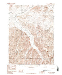
1986 · Survey Pass D-4
USGS Topo · 1:63,360
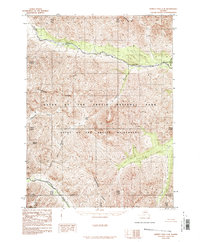
1986 · Survey Pass C-4
USGS Topo · 1:63,360
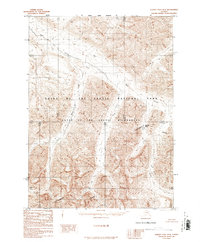
1986 · Survey Pass D-3
USGS Topo · 1:63,360