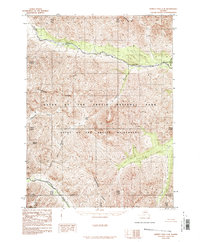
1986 Map of Survey Pass C-4
USGS Topo · Published 1986About this map
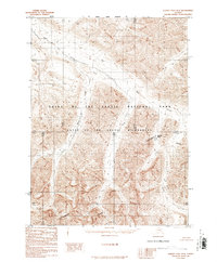
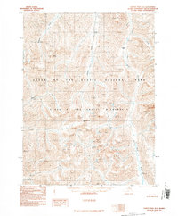
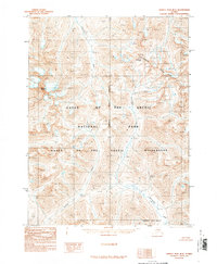
The Continental Divide winds through this Brooks Range landscape, marking a primary hydrological boundary between the watersheds of the northern interior. In the mid-1980s, these lands were part of the newly established Gates of the Arctic National Park and the even more protected Gates of the Arctic Wilderness, an area characterized by its lack of roads or permanent settlements. The Alatna River flows through the northern reaches, while the Noatak River occupies the southwestern corner, both serving as critical travel corridors in a region defined by alpine peaks like Mount Papiok. Key mountain transitions include Gull Pass and the drainages of Lucky Six Creek and Twelvemile Creek, illustrating the drainage patterns that have historically dictated movement through these high-latitude passes.
Find a feature on this map
16 named features on this map. Tap any name to fly to it.
Don’t see what you’re looking for? This feature index may not catch every label — zoom into the map to look around manually.
Map Details
Editions of this 1986 Survey Pass C-4 Map
This is the sole edition of this map. No revisions or reprints were ever made.
Other maps of this area

1951 · Survey Pass
USGS Topo · 1:250,000

1956 · Survey Pass
USGS Topo · 1:250,000

1964 · Survey Pass
USGS Topo · 1:250,000

1966 · Survey Pass
USGS Topo · 1:250,000
1986 · Survey Pass C-3
USGS Topo · 1:63,360
1986 · Survey Pass D-5
USGS Topo · 1:63,360
1986 · Survey Pass D-4
USGS Topo · 1:63,360
1986 · Survey Pass D-3
USGS Topo · 1:63,360
1990 · Survey Pass B-5
USGS Topo · 1:63,360
1990 · Survey Pass B-4
USGS Topo · 1:63,360