
1971 Map of Wiseman C-4
USGS Topo · Published 1974About this map
Allen River dominates this portion of the central Brooks Range, its braided channels cutting through a landscape of high summits and deep valleys in the early 1970s. The map illustrates a region virtually devoid of road infrastructure, where travel was dictated by the drainage of St Louis Creek and Swamp Creek. Near the southern edge, Wild Lake serves as a prominent landmark alongside Surprise Spring, while high points like Tobin Mountain and Sirr Mountain define the skyline. The presence of a lone Cabin near the lake suggests the seasonal nature of habitation and the reliance on fly-in or river-based access in this subarctic interior. This 1971 photogrammetric survey provides a detailed record of the drainage patterns of Sirr Creek and Seward Creek before later wilderness designations impacted the region.
Find a feature on this map
13 named features on this map. Tap any name to fly to it.
Don’t see what you’re looking for? This feature index may not catch every label — zoom into the map to look around manually.
Map Details
Editions of this 1971 Wiseman C-4 Map
This is the sole edition of this map. No revisions or reprints were ever made.
Other maps of this area

1951 · Wiseman
USGS Topo · 1:250,000

1956 · Wiseman
USGS Topo · 1:250,000

1964 · Wiseman
USGS Topo · 1:250,000
1971 · Wiseman B-3
USGS Topo · 1:63,360
1971 · Wiseman D-4
USGS Topo · 1:63,360

1971 · Wiseman C-5
USGS Topo · 1:63,360
1971 · Wiseman B-5
USGS Topo · 1:63,360
1971 · Wiseman D-5
USGS Topo · 1:63,360
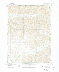
1971 · Wiseman D-3
USGS Topo · 1:63,360
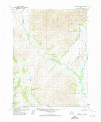
1971 · Wiseman C-3
USGS Topo · 1:63,360