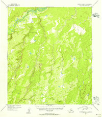
1954 Map of Kantishna River C-2
USGS Topo · Published 1956About this map
Zitziana River winds through the northwestern corner of this 1954 topographic survey, representing the primary drainage in an otherwise unpopulated interior landscape. The terrain is defined by a dense network of unnamed ponds and marshes characteristic of the region's permafrost-influenced lowlands. Geodetic control for the area is established at VABM 1364 Toklat, a high point that provides a rare fixed reference in the wilderness. This map, based on aerial photography from 1952, preserves the state of the Alaskan interior before the expansion of modern infrastructure, showing the natural drainage patterns and topographical relief of the Fourth Judicial Division.
Find a feature on this map
2 named features on this map. Tap any name to fly to it.
Don’t see what you’re looking for? This feature index may not catch every label — zoom into the map to look around manually.
Map Details
Editions of this 1954 Kantishna River C-2 Map
This is the sole edition of this map. No revisions or reprints were ever made.
Other maps of this area

1948 · Kantishna River
USGS Topo · 1:250,000

1951 · Kantishna River
USGS Topo · 1:250,000

1952 · Kantishna River C-1
USGS Topo · 1:63,360

1952 · Kantishna River
USGS Topo · 1:250,000

1952 · Kantishna River B-1
USGS Topo · 1:63,360

1952 · Kantishna River D-2
USGS Topo · 1:63,360

1952 · Kantishna River D-3
USGS Topo · 1:63,360

1952 · Kantishna River C-3
USGS Topo · 1:63,360

1953 · Kantishna River B-2
USGS Topo · 1:63,360

1953 · Kantishna River B-3
USGS Topo · 1:63,360