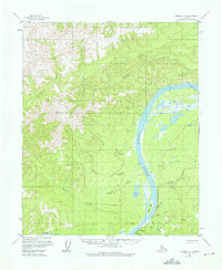
1956 Map of Tanana C-1
USGS Topo · Published 1976About this map
Rampart serves as the focal point of human activity in this 1950s interior landscape, situated along the southern banks of the Yukon River. The presence of an Agricultural Sta (Alaska) and a Cem near the riverbank suggests a community deeply integrated with the land, while a nearby Landing Strip highlights the area's dependence on bush aviation for connectivity. The river itself is the primary geographical feature, winding past Minook Island and the curiously named Point No-Point.
Find a feature on this map
23 named features on this map. Tap any name to fly to it.
Don’t see what you’re looking for? This feature index may not catch every label — zoom into the map to look around manually.
Map Details
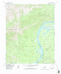
Editions of this 1956 Tanana C-1 Map
3 editions found
Other maps of this area

1945 · Livengood
USGS Topo · 1:250,000

1951 · Tanana
USGS Topo · 1:250,000

1951 · Livengood
USGS Topo · 1:250,000

1956 · Tanana B-1
USGS Topo · 1:63,360

1956 · Tanana C-1
USGS Topo · 1:63,360

1956 · Livengood B-6
USGS Topo · 1:63,360

1956 · Livengood C-6
USGS Topo · 1:63,360

1956 · Livengood D-6
USGS Topo · 1:63,360

1956 · Tanana D-2
USGS Topo · 1:63,360

1956 · Tanana B-2
USGS Topo · 1:63,360