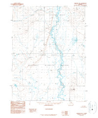
1990 Map of Christian B-1
USGS Topo · Published 1990About this map
The Sheenjek River flows prominently through this remote northern landscape, marking a boundary where the Arctic National Wildlife Refuge meets the Yukon Flats National Wildlife Refuge. This map, based on photography from the late 1970s, captures a wilderness largely devoid of permanent settlements, defined instead by its hydrological network. Thluichohnjik Creek feeds into the main river system from the west, while numerous unnamed lakes and designated water levels like WL 1068t and WL 840t dot the alluvial flats. The presence of a Cabin and multiple Cabins along the riverbanks suggests the seasonal presence of trappers, hunters, or researchers in a region where the only named overlook is Outlook Point. The lack of roads or established trails reinforces the area's character as a preserved interior waterway system within the Yukon-Koyukuk region.
Find a feature on this map
29 named features on this map. Tap any name to fly to it.
Don’t see what you’re looking for? This feature index may not catch every label — zoom into the map to look around manually.
Map Details
Editions of this 1990 Christian B-1 Map
This is the sole edition of this map. No revisions or reprints were ever made.
Other maps of this area

1951 · Coleen
USGS Topo · 1:250,000

1951 · Christian
USGS Topo · 1:250,000

1956 · Coleen
USGS Topo · 1:250,000
1956 · Coleen A-6
USGS Topo · 1:63,360

1956 · Christian
USGS Topo · 1:250,000
1983 · Coleen C-6
USGS Topo · 1:63,360
1983 · Christian C-2
USGS Topo · 1:63,360
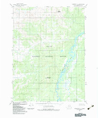
1983 · Christian C-1
USGS Topo · 1:63,360
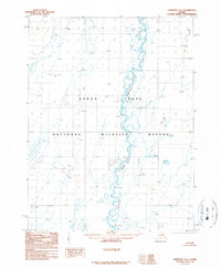
1990 · Christian A-1
USGS Topo · 1:63,360
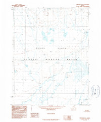
1990 · Christian A-2
USGS Topo · 1:63,360