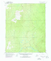
1970 Map of Bettles A-1
USGS Topo · Published 1977About this map
Ray River meanders across the southern landscape of this northern Alaskan interior survey, which captures a critical moment of industrial infrastructure expansion in the 1970s. The most striking feature is the corridor for The Trans-Alaska Pipeline (Under Construction), slicing through the terrain alongside an established Winter Trail. These paths represent the evolving transportation and energy network of the region, contrasting with the primitive Cabin located near the riverbank. To the east, the Fort Hamlin Hills dominate the topography, providing a stark geographic boundary. This edition includes purple-ink revisions compiled from 1975 aerial photography, offering a multi-year perspective on the early stages of pipeline development before its completion.
Find a feature on this map
6 named features on this map. Tap any name to fly to it.
Don’t see what you’re looking for? This feature index may not catch every label — zoom into the map to look around manually.
Map Details
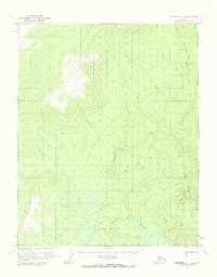
Editions of this 1970 Bettles A-1 Map
2 editions found
Other maps of this area

1945 · Livengood
USGS Topo · 1:250,000

1951 · Bettles
USGS Topo · 1:250,000

1951 · Tanana
USGS Topo · 1:250,000

1951 · Livengood
USGS Topo · 1:250,000

1951 · Beaver
USGS Topo · 1:250,000

1956 · Bettles
USGS Topo · 1:250,000

1956 · Beaver
USGS Topo · 1:250,000

1956 · Livengood D-6
USGS Topo · 1:63,360

1956 · Tanana D-2
USGS Topo · 1:63,360

1956 · Tanana D-1
USGS Topo · 1:63,360