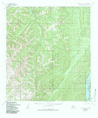
1952 Map of Unalakleet C-2
USGS Topo · Published 1987About this map
The Yukon River flows along the eastern edge of this mid-century topographic study, a vital waterway that defines the landscape of the Yukon-Koyukuk region. In the southeast, the Eagle Island National Wildlife Refuge and Inwr provide early documentation of protected conservation areas established under federal interest lands legislation. The interior is dominated by the high elevations of the Blackburn Hills, where numerous drainages like the Old Woman River and Bear Creek carve through the terrain. Evidence of seasonal travel or remote habitation appears in the marginal notation for a Cabin located several miles beyond the map's primary features, illustrating the isolation of this interior Alaska wilderness during the early 1950s.
Find a feature on this map
8 named features on this map. Tap any name to fly to it.
Don’t see what you’re looking for? This feature index may not catch every label — zoom into the map to look around manually.
Map Details
Editions of this 1952 Unalakleet C-2 Map
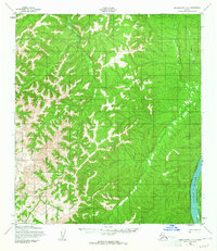
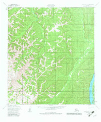
4 editions found
Other maps of this area

1950 · Unalakleet D-3
USGS Topo · 1:63,360

1951 · Unalakleet
USGS Topo · 1:250,000

1952 · Unalakleet C-2
USGS Topo · 1:63,360

1952 · Unalakleet D-2
USGS Topo · 1:63,360

1952 · Unalakleet C-3
USGS Topo · 1:63,360

1952 · Unalakleet B-3
USGS Topo · 1:63,360

1952 · Unalakleet C-1
USGS Topo · 1:63,360

1952 · Unalakleet B-2
USGS Topo · 1:63,360

1952 · Unalakleet B-1
USGS Topo · 1:63,360

1952 · Unalakleet D-1
USGS Topo · 1:63,360