
1952 Map of Unalakleet C-2
USGS Topo · Published 1959About this map
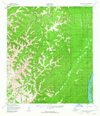
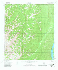
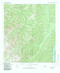
The Yukon River defines the eastern edge of this interior landscape, where Eagle Island sits as a significant landform within the main channel. Inland from the river, the terrain is characterized by a complex network of drainages, including the Woman River, Bear Creek, and Jenson Creek, which carve through the elevations. This map also marks the internal administrative landscape of the early 1950s, specifically the boundary between the Second Judicial Division and the Fourth Judicial Division. While largely unpopulated, the presence of several Trails indicates established routes for travel and transport across the interior, likely connecting the river corridor to the western highlands.
Find a feature on this map
9 named features on this map. Tap any name to fly to it.
Don’t see what you’re looking for? This feature index may not catch every label — zoom into the map to look around manually.
Map Details
Editions of this 1952 Unalakleet C-2 Map
4 editions found
Other maps of this area

1950 · Unalakleet D-3
USGS Topo · 1:63,360

1951 · Unalakleet
USGS Topo · 1:250,000

1952 · Unalakleet D-2
USGS Topo · 1:63,360

1952 · Unalakleet C-3
USGS Topo · 1:63,360

1952 · Unalakleet B-3
USGS Topo · 1:63,360

1952 · Unalakleet C-1
USGS Topo · 1:63,360

1952 · Unalakleet B-2
USGS Topo · 1:63,360

1952 · Unalakleet B-1
USGS Topo · 1:63,360

1952 · Unalakleet D-1
USGS Topo · 1:63,360

1952 · Unalakleet
USGS Topo · 1:250,000