
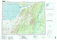
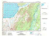
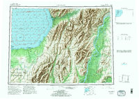
1952 Map of Unalakleet
USGS Topo · Published 1960About this map
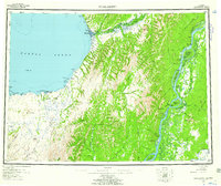
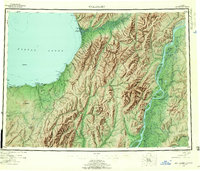
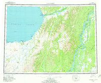
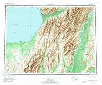
The Unalakleet River valley serves as a primary corridor between the coast of Norton Sound and the interior river systems in this mid-century portrait of western Alaska. The coastal settlement of Unalakleet, noted here as a Native Reservation, anchors the shoreline near its Commercial Airport and Radio Towers. Moving inland, the landscape transitions from coastal bluffs like Tolukowuk Bluffs to the towering Kaiyuh Mountains. This survey captures a remote geography defined by essential transport routes, including the Winter Trail and several river systems like the Eagle River and Yukon River. Scattered evidence of early industry and habitation appears through the Williams Mine, the McLeod Prospect, and the site of Healy (Aband). Numerous sloughs and islands, such as Bullfrog Island and Honeymoon Slough, highlight the complex hydrology of the Yukon delta area.
Find a feature on this map
94 named features on this map. Tap any name to fly to it.
Don’t see what you’re looking for? This feature index may not catch every label — zoom into the map to look around manually.
Map Details
Editions of this 1952 Unalakleet Map
8 editions found
Other maps of this area

1945 · Nulato
USGS Topo · 1:250,000

1948 · Norton Bay
USGS Topo · 1:250,000

1950 · Solomon
USGS Topo · 1:250,000

1950 · Unalakleet D-3
USGS Topo · 1:63,360

1950 · Norton Bay A-4
USGS Topo · 1:63,360

1950 · Norton Bay A-3
USGS Topo · 1:63,360

1950 · Unalakleet D-4
USGS Topo · 1:63,360

1951 · Ophir
USGS Topo · 1:250,000

1951 · Nulato
USGS Topo · 1:250,000

1951 · Unalakleet
USGS Topo · 1:250,000