
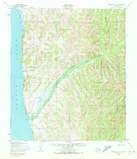
1950 Map of Norton Bay A-4
USGS Topo · Published 1958About this map
Egavik stands as a primary point of human activity along the eastern shores of Norton Sound in this mid-century coastal study. The landscape is defined by the significant drainage of Egavik Creek, which carves a broad valley through the Foothills as it flows toward the sound. North of the settlement, the Tagoomenik River and Beeson Slough create a complex system of waterways near the coastline, illustrating the dynamic maritime environment of the region.
Find a feature on this map
11 named features on this map. Tap any name to fly to it.
Don’t see what you’re looking for? This feature index may not catch every label — zoom into the map to look around manually.
Map Details
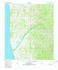
Editions of this 1950 Norton Bay A-4 Map
3 editions found
Other maps of this area

1948 · Norton Bay
USGS Topo · 1:250,000

1950 · Norton Bay B-5
USGS Topo · 1:63,360

1950 · Norton Bay B-4
USGS Topo · 1:63,360

1950 · Norton Bay B-3
USGS Topo · 1:63,360

1950 · Unalakleet D-3
USGS Topo · 1:63,360

1950 · Norton Bay A-3
USGS Topo · 1:63,360

1950 · Unalakleet D-4
USGS Topo · 1:63,360

1951 · Unalakleet
USGS Topo · 1:250,000

1951 · Norton Bay
USGS Topo · 1:250,000

1952 · Unalakleet
USGS Topo · 1:250,000