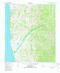
1950 Map of Norton Bay A-4
USGS Topo · Published 1982About this map
Norton Sound defines the western edge of this coastal landscape, where the tides of the Bering Sea meet the rugged terrain of the Norton Bay region. Near the shore, the small settlement of Egavik sits at the mouth of Egavik Creek, serving as a focal point for activity in an area defined by its seasonal access and drainage networks. The topography is marked by a complex system of ridges and valleys, with Junction Creek and Beeson Slough cutting through the coastal lowlands. A solitary Cabin is noted further inland, suggesting the sparse, dispersed nature of human presence during this era of Alaskan history. The presence of a Winter Trail highlights the importance of seasonal overland travel routes before modern infrastructure reached this part of the Seward Peninsula, providing a rare look at the corridors used by local travelers and hunters.
Find a feature on this map
7 named features on this map. Tap any name to fly to it.
Don’t see what you’re looking for? This feature index may not catch every label — zoom into the map to look around manually.
Map Details
Editions of this 1950 Norton Bay A-4 Map
3 editions found
Other maps of this area

1948 · Norton Bay
USGS Topo · 1:250,000

1950 · Norton Bay B-5
USGS Topo · 1:63,360

1950 · Norton Bay B-4
USGS Topo · 1:63,360

1950 · Norton Bay B-3
USGS Topo · 1:63,360

1950 · Unalakleet D-3
USGS Topo · 1:63,360

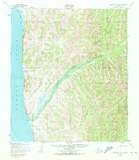
1950 · Norton Bay A-4
USGS Topo · 1:63,360

1950 · Norton Bay A-3
USGS Topo · 1:63,360

1950 · Unalakleet D-4
USGS Topo · 1:63,360

1951 · Unalakleet
USGS Topo · 1:250,000

1951 · Norton Bay
USGS Topo · 1:250,000