
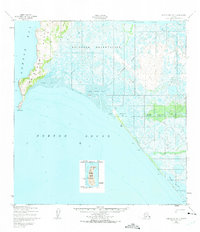
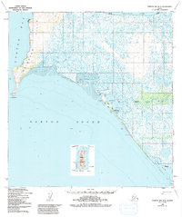
1950 Map of Norton Bay B-5
USGS Topo · Published 1956About this map
The remote coastline of Norton Sound is captured here as it appeared in 1950, highlighting a landscape defined by seasonal movement and subsistence. The village of Shaktoolik serves as a focal point along the shore, accompanied by support structures like the Shaktoolik Boathouse and several cabins. The presence of the Reindeer Reservation and the Reindeer Hills reflects the importance of reindeer herding in this region during the mid-20th century.
Find a feature on this map
21 named features on this map. Tap any name to fly to it.
Don’t see what you’re looking for? This feature index may not catch every label — zoom into the map to look around manually.
Map Details
Editions of this 1950 Norton Bay B-5 Map
3 editions found
Other maps of this area

1948 · Norton Bay
USGS Topo · 1:250,000

1950 · Norton Bay B-4
USGS Topo · 1:63,360

1950 · Norton Bay C-6
USGS Topo · 1:63,360

1950 · Norton Bay C-5
USGS Topo · 1:63,360

1950 · Norton Bay A-4
USGS Topo · 1:63,360

1950 · Norton Bay C-4
USGS Topo · 1:63,360

1951 · Norton Bay
USGS Topo · 1:250,000

1955 · Norton Bay
USGS Topo · 1:250,000
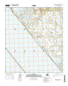
2014 · Norton Bay B-5 SE
USGS Topo · 1:25,000
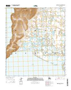
2014 · Norton Bay B-5 NW
USGS Topo · 1:25,000