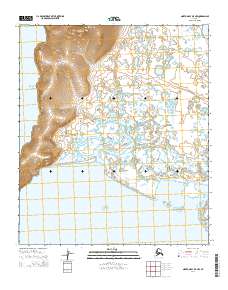
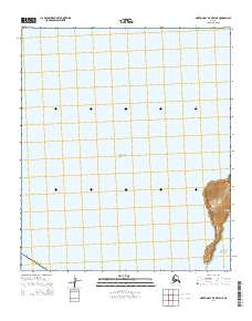
2014 Map of Norton Bay B-5 NW
USGS Topo · Published 2014About this map
The Reindeer Hills rise abruptly above the coastal wetlands of the Bering Sea, providing a stark topographic contrast to the surrounding tidal landscape. This 2014 survey captures a remote stretch of the Alaska coastline where the Sineak River meanders across a vast alluvial plain before emptying into the waters of Norton Sound. The intricate network of small ponds and drainage channels surrounding Malikfik Bay indicates a highly dynamic hydrologic environment, shaped by both riverine output and the tidal influence of Norton Bay. This map reveals a wilderness landscape nearly devoid of modern human infrastructure, defined instead by the natural boundaries of the Public Land Survey System, including townships such as t12s r14w and t11s r13w.
Find a feature on this map
12 named features on this map. Tap any name to fly to it.
Don’t see what you’re looking for? This feature index may not catch every label — zoom into the map to look around manually.
Map Details
Editions of this 2014 Norton Bay B-5 NW Map
This is the sole edition of this map. No revisions or reprints were ever made.
Other maps of this area

1948 · Norton Bay
USGS Topo · 1:250,000

1950 · Norton Bay B-5
USGS Topo · 1:63,360

1950 · Norton Bay C-6
USGS Topo · 1:63,360

1950 · Norton Bay C-5
USGS Topo · 1:63,360

1951 · Norton Bay
USGS Topo · 1:250,000

1955 · Norton Bay
USGS Topo · 1:250,000
2014 · Norton Bay B-5 SE
USGS Topo · 1:25,000
2014 · Norton Bay C-5 SW
USGS Topo · 1:25,000
2014 · Norton Bay B-5 NE
USGS Topo · 1:25,000
2014 · Norton Bay B-5 OE W NE
USGS Topo · 1:25,000