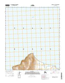
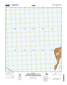
2014 Map of Norton Bay C-5 SW
USGS Topo · Published 2014About this map
The vast waters of the Bering Sea dominate this coastal survey, where the Alaskan shoreline meets the Norton Bay. The most prominent landmark on this stretch of coast is Point Dexter, a distinct headland where the land abruptly meets the sea. Just inland from the point, the Reindeer Hills rise as the primary topographic feature, providing a rare elevation gain in a region defined by its marine proximity. The map illustrates the sparse, uninhabited character of the area in the early 21st century, with the landscape divided primarily by township and range lines such as t11s r14w and t11s r13w. This is a study of a remote coastal boundary where the terrain remains largely untouched by modern infrastructure.
Find a feature on this map
5 named features on this map. Tap any name to fly to it.
Don’t see what you’re looking for? This feature index may not catch every label — zoom into the map to look around manually.
Map Details
Editions of this 2014 Norton Bay C-5 SW Map
This is the sole edition of this map. No revisions or reprints were ever made.
Other maps of this area

1948 · Norton Bay
USGS Topo · 1:250,000

1950 · Norton Bay B-5
USGS Topo · 1:63,360

1950 · Norton Bay C-6
USGS Topo · 1:63,360

1950 · Norton Bay C-5
USGS Topo · 1:63,360

1951 · Norton Bay
USGS Topo · 1:250,000

1955 · Norton Bay
USGS Topo · 1:250,000
2014 · Norton Bay B-5 NW
USGS Topo · 1:25,000
2014 · Norton Bay B-5 NE
USGS Topo · 1:25,000
2014 · Norton Bay C-6 NE
USGS Topo · 1:25,000
2014 · Norton Bay B-5 OE W NE
USGS Topo · 1:25,000