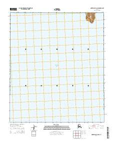
2014 Map of Norton Bay C-6 NE
USGS Topo · Published 2014About this map
Bering Sea waters dominate this coastal survey of the Seward Peninsula shoreline, where the landscape meets the northern reaches of Norton Bay. The primary topographic landmark is Bald Head, a distinct coastal elevation that breaks the maritime expanse along the northeastern corner. This area is characterized by its isolation and the intersection of various public land survey sections, including t8s r15w, t8s r14w, and t9s r14w. The mapping produced by the U.S. Geological Survey provides a precise view of the interface between the open sea and the Alaskan coastline in a region defined by its lack of established inland settlements or roads during the early 21st century.
Find a feature on this map
6 named features on this map. Tap any name to fly to it.
Don’t see what you’re looking for? This feature index may not catch every label — zoom into the map to look around manually.
Map Details
Editions of this 2014 Norton Bay C-6 NE Map
This is the sole edition of this map. No revisions or reprints were ever made.
Other maps of this area

1948 · Norton Bay
USGS Topo · 1:250,000

1950 · Norton Bay D-6
USGS Topo · 1:63,360

1950 · Norton Bay D-5
USGS Topo · 1:63,360

1950 · Norton Bay C-6
USGS Topo · 1:63,360

1950 · Norton Bay C-5
USGS Topo · 1:63,360

1951 · Norton Bay
USGS Topo · 1:250,000

1955 · Norton Bay
USGS Topo · 1:250,000
2014 · Norton Bay D-5 SW
USGS Topo · 1:25,000
2014 · Norton Bay C-5 SW
USGS Topo · 1:25,000
2014 · Norton Bay D-6 SW
USGS Topo · 1:25,000