
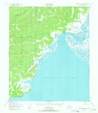
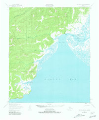
1950 Map of Norton Bay D-5
USGS Topo · Published 1956About this map
Koyuk sits at the northern confluence of the Koyuk River and the Koyuk Inlet, serving as a focal point for this coastal Arctic landscape. This 1950 photogrammetric survey by the Army Map Service reveals the drainage patterns of the Seward Peninsula, where the Mukluktulik River, Miniatulik River, and Kuiuktulik River flow eastward into the tidal flats of Norton Bay. The inclusion of a Landing Strip (Approximate Location) near the village reflects the era's reliance on bush aviation for mail and supplies in a region without a formal road network. The map detail is particularly useful for understanding the historic shoreline and the natural watercourses like Kenwood Creek before subsequent decades of environmental change.
Find a feature on this map
9 named features on this map. Tap any name to fly to it.
Don’t see what you’re looking for? This feature index may not catch every label — zoom into the map to look around manually.
Map Details
Editions of this 1950 Norton Bay D-5 Map
3 editions found
Other maps of this area

1948 · Norton Bay
USGS Topo · 1:250,000

1950 · Norton Bay D-6
USGS Topo · 1:63,360

1950 · Norton Bay C-6
USGS Topo · 1:63,360

1950 · Candle A-6
USGS Topo · 1:63,360

1950 · Candle A-5
USGS Topo · 1:63,360

1950 · Norton Bay D-4
USGS Topo · 1:63,360

1950 · Norton Bay C-5
USGS Topo · 1:63,360

1950 · Norton Bay C-4
USGS Topo · 1:63,360

1951 · Candle
USGS Topo · 1:250,000

1951 · Norton Bay
USGS Topo · 1:250,000