
1950 Map of Candle A-5
USGS Topo · Published 1956About this map
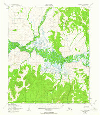
Koyuk River dominates this mid-century Alaskan landscape, its winding course and associated wetlands creating a complex drainage system across the Seward Peninsula. The remote settlement of Haycock serves as a focal point for activity, supported by a nearby Landing Strip and a cluster of Cabins. This interior region reflects the logistical realities of the era, where transportation relied heavily on a network of routes like the Tractor Trail and the water access provided at Dime Landing.
Find a feature on this map
16 named features on this map. Tap any name to fly to it.
Don’t see what you’re looking for? This feature index may not catch every label — zoom into the map to look around manually.
Map Details
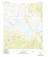
Editions of this 1950 Candle A-5 Map
3 editions found
Other maps of this area

1948 · Norton Bay
USGS Topo · 1:250,000

1950 · Norton Bay D-6
USGS Topo · 1:63,360

1950 · Norton Bay D-5
USGS Topo · 1:63,360

1950 · Candle A-6
USGS Topo · 1:63,360

1950 · Candle B-5
USGS Topo · 1:63,360

1950 · Candle B-6
USGS Topo · 1:63,360

1950 · Norton Bay D-4
USGS Topo · 1:63,360

1951 · Candle
USGS Topo · 1:250,000

1951 · Norton Bay
USGS Topo · 1:250,000

1955 · Candle
USGS Topo · 1:250,000