
1955 Map of Norton Bay
USGS Topo · Published 1963About this map
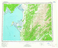
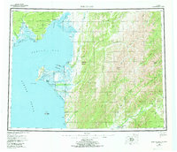
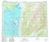
The Norton Bay Native Reservation and the Reindeer Reservation dominate the western coastal geography of this mid-century survey. Along the shores of Norton Sound, the landscape transitions from the coastal waters of Malikfik Bay to the inland peaks of Christmas Mountain and Debauch Mountain. Remote infrastructure is sparse but critical, marked by landmarks such as Isaacs Roadhouse and scattered shelters like Old Woman Cabin and Twenty-two Mile Cabin.
Find a feature on this map
69 named features on this map. Tap any name to fly to it.
Don’t see what you’re looking for? This feature index may not catch every label — zoom into the map to look around manually.
Map Details
Editions of this 1955 Norton Bay Map
4 editions found
Other maps of this area

1945 · Nulato
USGS Topo · 1:250,000

1948 · Norton Bay
USGS Topo · 1:250,000

1950 · Bendeleben A-1
USGS Topo · 1:63,360

1950 · Norton Bay D-6
USGS Topo · 1:63,360

1950 · Bendeleben
USGS Topo · 1:250,000

1950 · Norton Bay B-5
USGS Topo · 1:63,360

1950 · Norton Bay D-5
USGS Topo · 1:63,360

1950 · Solomon C-1
USGS Topo · 1:63,360

1950 · Norton Bay B-4
USGS Topo · 1:63,360

1950 · Norton Bay C-6
USGS Topo · 1:63,360