
1950 Map of Norton Bay B-4
USGS Topo · Published 1956About this map
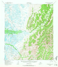
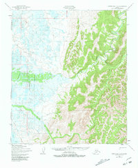
The Shaktoolik River winds through this coastal Alaskan landscape, transitioning from high inland ridges to a complex network of lowland lakes and marshes. A seasonal Winter Trail cuts north-south across the western wetlands, illustrating the traditional overland travel routes essential for mobility before modern infrastructure. Along the river banks, a modest Fishing Camp and scattered Cabin sites reflect the region's subsistence patterns and the importance of waterway access for local livelihood in the mid-20th century.
Find a feature on this map
13 named features on this map. Tap any name to fly to it.
Don’t see what you’re looking for? This feature index may not catch every label — zoom into the map to look around manually.
Map Details
Editions of this 1950 Norton Bay B-4 Map
3 editions found
Other maps of this area

1948 · Norton Bay
USGS Topo · 1:250,000

1950 · Norton Bay B-5
USGS Topo · 1:63,360

1950 · Norton Bay C-5
USGS Topo · 1:63,360

1950 · Norton Bay B-3
USGS Topo · 1:63,360

1950 · Norton Bay C-3
USGS Topo · 1:63,360

1950 · Norton Bay A-4
USGS Topo · 1:63,360

1950 · Norton Bay A-3
USGS Topo · 1:63,360

1950 · Norton Bay C-4
USGS Topo · 1:63,360

1951 · Norton Bay
USGS Topo · 1:250,000

1955 · Norton Bay
USGS Topo · 1:250,000