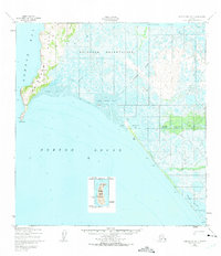
1950 Map of Norton Bay B-5
USGS Topo · Published 1974About this map
Reindeer Reservation dominates the northern expanse of this coastal survey, where the terrestrial landscape of the Reindeer Hills meets the shifting waters of Norton Sound. The map documents a sparsely settled but strategically significant shoreline in 1950, anchored by the Shaktoolik Roadhouse and the infrastructure of the Cold Storage Sheds near Shaktoolik Bay. A distinct Winter Trail cuts across the wetlands toward a Landing Strip, illustrating the vital role of seasonal transit and bush aviation in mid-century Alaska. To the west, the prominent landmark of Cape Denbigh and the isolated Besboro Island provide essential maritime orientation. The intricate drainage of the Shaktoolik River and Beeson Slough reflects a landscape defined by tidal flats and riverine connectivity, where seasonal activity and traditional land use converged before later modern developments.
Find a feature on this map
23 named features on this map. Tap any name to fly to it.
Don’t see what you’re looking for? This feature index may not catch every label — zoom into the map to look around manually.
Map Details
Editions of this 1950 Norton Bay B-5 Map
3 editions found
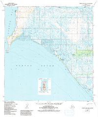
Other maps of this area

1948 · Norton Bay
USGS Topo · 1:250,000

1950 · Norton Bay B-5
USGS Topo · 1:63,360

1950 · Norton Bay B-4
USGS Topo · 1:63,360

1950 · Norton Bay C-6
USGS Topo · 1:63,360

1950 · Norton Bay C-5
USGS Topo · 1:63,360

1950 · Norton Bay A-4
USGS Topo · 1:63,360

1950 · Norton Bay C-4
USGS Topo · 1:63,360

1951 · Norton Bay
USGS Topo · 1:250,000

1955 · Norton Bay
USGS Topo · 1:250,000
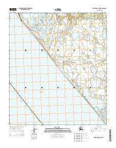
2014 · Norton Bay B-5 SE
USGS Topo · 1:25,000