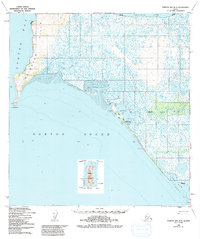
1950 Map of Norton Bay B-5
USGS Topo · Published 1992About this map
Reindeer Hills rise above the coastal marshes of the Norton Sound in this mid-century portrait of the Alaskan coast. The settlement at Shaktoolik serves as a focal point along the Shaktoolik Bay shoreline, accompanied by the Shaktoolik Roadhouse and several Cold Storage Sheds, indicating the region's reliance on maritime resources and subsistence commerce. Inland, the landscape is defined by the winding paths of the Sineak River and the Shaktoolik River, which traverse extensive areas of Tidal Flat and marshland.
Find a feature on this map
24 named features on this map. Tap any name to fly to it.
Don’t see what you’re looking for? This feature index may not catch every label — zoom into the map to look around manually.
Map Details
Editions of this 1950 Norton Bay B-5 Map
3 editions found
Other maps of this area

1948 · Norton Bay
USGS Topo · 1:250,000

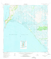
1950 · Norton Bay B-5
USGS Topo · 1:63,360

1950 · Norton Bay B-4
USGS Topo · 1:63,360

1950 · Norton Bay C-6
USGS Topo · 1:63,360

1950 · Norton Bay C-5
USGS Topo · 1:63,360

1950 · Norton Bay A-4
USGS Topo · 1:63,360

1950 · Norton Bay C-4
USGS Topo · 1:63,360

1951 · Norton Bay
USGS Topo · 1:250,000

1955 · Norton Bay
USGS Topo · 1:250,000
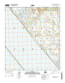
2014 · Norton Bay B-5 SE
USGS Topo · 1:25,000