
1950 Map of Unalakleet D-3
USGS Topo · Published 1958About this map
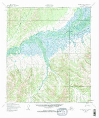
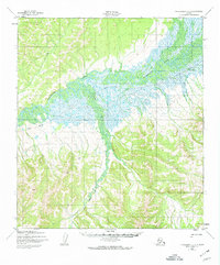
The Unalakleet River winds across this interior Alaskan landscape, characterized by complex oxbows and a broad valley floor during the early 1950s. The map captures the meeting of several significant waterways, including the Chiroskey River and Rabbit Creek, which drain the surrounding highlands within the Alaska-Second Judicial Division. One of the most critical human elements shown is the Winter Trail, a vital overland route in an era before permanent road infrastructure reached this part of the territory. The presence of this trail alongside the meandering river system highlights the seasonal nature of travel and subsistence in the region, where frozen waterways often served as the primary conduits for movement between remote camps and coastal settlements.
Find a feature on this map
5 named features on this map. Tap any name to fly to it.
Don’t see what you’re looking for? This feature index may not catch every label — zoom into the map to look around manually.
Map Details
Editions of this 1950 Unalakleet D-3 Map
3 editions found
Other maps of this area

1948 · Norton Bay
USGS Topo · 1:250,000

1950 · Norton Bay A-4
USGS Topo · 1:63,360

1950 · Norton Bay A-3
USGS Topo · 1:63,360

1950 · Unalakleet D-4
USGS Topo · 1:63,360

1951 · Unalakleet
USGS Topo · 1:250,000

1951 · Norton Bay
USGS Topo · 1:250,000

1952 · Unalakleet C-2
USGS Topo · 1:63,360

1952 · Unalakleet D-2
USGS Topo · 1:63,360

1952 · Unalakleet C-3
USGS Topo · 1:63,360

1952 · Unalakleet C-4
USGS Topo · 1:63,360