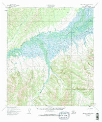
1950 Map of Unalakleet D-3
USGS Topo · Published 1974About this map
The Unalakleet River winds through a vast alluvial corridor in this mid-century topographic record, defining the drainage patterns of the Nome region. This survey, based on 1950 aerial photography, documents the vital seasonal transportation networks of the Alaskan interior, most notably the Winter Trail that traverses the northern ridges and the Portage route connecting water bodies. The confluence of the Chiroskey River and the main river channel creates a complex network of wetlands and smaller tributaries like Rabbit Creek and Tenmile Creek. These labels represent the primary landmarks for navigation and subsistence in a landscape where terrain and seasonal freeze-up dictate movement. The map provides a precise look at the land before later environmental shifts or modern infrastructure altered these traditional routes.
Find a feature on this map
6 named features on this map. Tap any name to fly to it.
Don’t see what you’re looking for? This feature index may not catch every label — zoom into the map to look around manually.
Map Details
Editions of this 1950 Unalakleet D-3 Map
3 editions found
Other maps of this area

1948 · Norton Bay
USGS Topo · 1:250,000

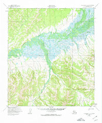
1950 · Unalakleet D-3
USGS Topo · 1:63,360

1950 · Norton Bay A-4
USGS Topo · 1:63,360

1950 · Norton Bay A-3
USGS Topo · 1:63,360

1950 · Unalakleet D-4
USGS Topo · 1:63,360

1951 · Unalakleet
USGS Topo · 1:250,000

1951 · Norton Bay
USGS Topo · 1:250,000

1952 · Unalakleet C-2
USGS Topo · 1:63,360

1952 · Unalakleet D-2
USGS Topo · 1:63,360

1952 · Unalakleet C-3
USGS Topo · 1:63,360