
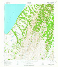
1952 Map of Unalakleet C-4
USGS Topo · Published 1959About this map
Norton Sound defines the western coastline of this Alaska territory, where the marine environment meets a network of interior waterways. Early 1950s aerial photography captures the winding paths of the Shaktoolik River and South Fork River as they drain the coastal lowlands. A solitary Winter Trail runs parallel to the shore, indicating the primary seasonal transport route used before more permanent infrastructure reached this part of the Seward Peninsula region.
Find a feature on this map
9 named features on this map. Tap any name to fly to it.
Don’t see what you’re looking for? This feature index may not catch every label — zoom into the map to look around manually.
Map Details
Editions of this 1952 Unalakleet C-4 Map
2 editions found
Other maps of this area

1950 · Unalakleet D-3
USGS Topo · 1:63,360

1950 · Unalakleet D-4
USGS Topo · 1:63,360

1951 · Unalakleet
USGS Topo · 1:250,000

1952 · Unalakleet B-4
USGS Topo · 1:63,360

1952 · Unalakleet C-3
USGS Topo · 1:63,360

1952 · Unalakleet B-3
USGS Topo · 1:63,360

1952 · Unalakleet B-5
USGS Topo · 1:63,360
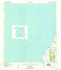
1952 · Unalakleet C-5
USGS Topo · 1:63,360

1952 · Unalakleet
USGS Topo · 1:250,000

1964 · Unalakleet
USGS Topo · 1:250,000