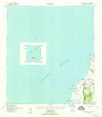
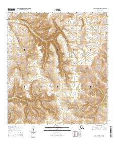
1952 Map of Unalakleet C-5
USGS Topo · Published 1959About this map
Golsovia sits at the confluence of the Golsovia River and the eastern reaches of Norton Sound, serving as a focal point for this mid-century coastal survey. The map details a landscape where seasonal travel was vital, evidenced by the Winter Trail (Approximate) that skirts the shoreline near Black Pt and Black Cove. Inset details highlight the significance of maritime navigation in the Sound, specifically the position of the Egg Island Light on Egg Island. This 1950s documentation, compiled from Army Map Service data and aerial photography, captures the remote coastal infrastructure and drainage patterns of the region, including smaller tributaries like Shorty Creek and Pontahtule Cr as they meet the Bering Sea at points such as Shorty Cove and Tolstoi Pt.
Find a feature on this map
13 named features on this map. Tap any name to fly to it.
Don’t see what you’re looking for? This feature index may not catch every label — zoom into the map to look around manually.
Map Details
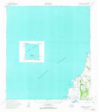
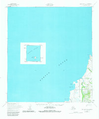
Editions of this 1952 Unalakleet C-5 Map
3 editions found
Other maps of this area

1950 · Unalakleet D-4
USGS Topo · 1:63,360

1951 · Unalakleet
USGS Topo · 1:250,000

1952 · Unalakleet B-4
USGS Topo · 1:63,360

1952 · Unalakleet B-6
USGS Topo · 1:63,360

1952 · Unalakleet C-4
USGS Topo · 1:63,360

1952 · Unalakleet B-5
USGS Topo · 1:63,360

1952 · Unalakleet
USGS Topo · 1:250,000

1964 · Unalakleet
USGS Topo · 1:250,000
2016 · Unalakleet C-4 SW
USGS Topo · 1:25,000
2016 · Unalakleet B-4 NW
USGS Topo · 1:25,000