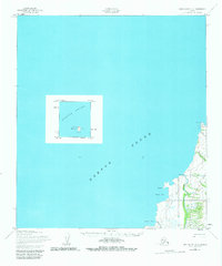
1952 Map of Unalakleet C-5
USGS Topo · Published 1982About this map
Golsovia sits at the mouth of the Golsovia River on the eastern shores of Norton Sound in this early 1950s coastal survey. The map details a remote stretch of the Alaska shoreline where maritime navigation and seasonal overland travel were the primary lifelines. A significant Winter Trail parallels the coast, connecting the settlement to points north and south, passing by landforms such as Black Pt and Tolstoi Pt. Offshore, the isolated Egg Island is marked with the Egg Island Light, a critical landmark for vessels navigating these waters. The drainage patterns of the Pontaheryle Creek and Shorty Creek illustrate the coastal topography between the sheltered Black Cove and Shorty Cove, providing a detailed look at the region's geography before significant modern development.
Find a feature on this map
12 named features on this map. Tap any name to fly to it.
Don’t see what you’re looking for? This feature index may not catch every label — zoom into the map to look around manually.
Map Details
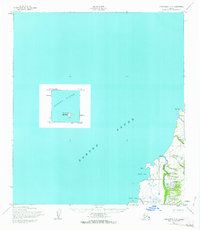
Editions of this 1952 Unalakleet C-5 Map
3 editions found
Other maps of this area

1950 · Unalakleet D-4
USGS Topo · 1:63,360

1951 · Unalakleet
USGS Topo · 1:250,000

1952 · Unalakleet B-4
USGS Topo · 1:63,360

1952 · Unalakleet B-6
USGS Topo · 1:63,360

1952 · Unalakleet C-4
USGS Topo · 1:63,360

1952 · Unalakleet B-5
USGS Topo · 1:63,360
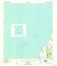
1952 · Unalakleet C-5
USGS Topo · 1:63,360

1952 · Unalakleet
USGS Topo · 1:250,000

1964 · Unalakleet
USGS Topo · 1:250,000
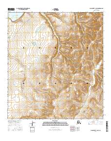
2016 · Unalakleet C-4 SW
USGS Topo · 1:25,000