
1952 Map of Unalakleet B-4
USGS Topo · Published 1959About this map
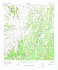
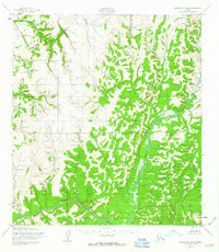
Anvik River meanders through the eastern portion of this remote Alaskan terrain, where the drainage basin creates a complex network of wetlands and oxbows. The landscape is defined by the high elevations of the Kaltag Mountains, rising between the river valleys of the South River and the westward-flowing Otter Creek. This 1950s-era survey by the Army Map Service documents a wilderness devoid of roads or settlements, primarily serving as a topographic record of the Second Fourth Judicial Division boundary. The map illustrates the raw geomorphology of the region before modern development, focusing on the intricate contouring of ridges and the natural path of the interior waterways that historically served as the primary routes for travel and subsistence.
Find a feature on this map
4 named features on this map. Tap any name to fly to it.
Don’t see what you’re looking for? This feature index may not catch every label — zoom into the map to look around manually.
Map Details
Editions of this 1952 Unalakleet B-4 Map
3 editions found
Other maps of this area

1951 · Unalakleet
USGS Topo · 1:250,000

1952 · Unalakleet A-4
USGS Topo · 1:63,360

1952 · Unalakleet A-3
USGS Topo · 1:63,360

1952 · Unalakleet A-5
USGS Topo · 1:63,360

1952 · Unalakleet C-3
USGS Topo · 1:63,360

1952 · Unalakleet C-4
USGS Topo · 1:63,360

1952 · Unalakleet B-3
USGS Topo · 1:63,360

1952 · Unalakleet B-5
USGS Topo · 1:63,360
1952 · Unalakleet C-5
USGS Topo · 1:63,360

1952 · Unalakleet
USGS Topo · 1:250,000