
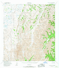
1952 Map of Unalakleet A-5
USGS Topo · Published 1959About this map
Golsovia River and its upper tributaries define the topography of this remote Alaskan interior during the early 1950s. The landscape is characterized by a dense network of drainages and high ridgelines, with Otter Creek carving a significant valley through the central portion of the quadrangle. Mapped through a collaboration between the Army Map Service and the Geological Survey, the sheet reflects the post-war efforts to survey the Alaskan wilderness using photogrammetric methods from aerial photography. Further south, Jackson Creek flows through the steep terrain, illustrating the complex water systems that dominated this roadless region prior to modern development.
Find a feature on this map
3 named features on this map. Tap any name to fly to it.
Don’t see what you’re looking for? This feature index may not catch every label — zoom into the map to look around manually.
Map Details
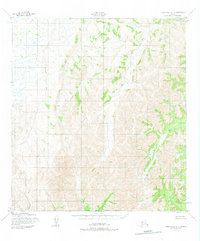
Editions of this 1952 Unalakleet A-5 Map
3 editions found
Other maps of this area

1951 · Unalakleet
USGS Topo · 1:250,000

1951 · Holy Cross
USGS Topo · 1:250,000

1952 · Unalakleet A-4
USGS Topo · 1:63,360

1952 · Unalakleet B-4
USGS Topo · 1:63,360

1952 · Unalakleet B-6
USGS Topo · 1:63,360

1952 · Holy Cross D-5
USGS Topo · 1:63,360

1952 · Holy Cross D-4
USGS Topo · 1:63,360

1952 · Unalakleet B-5
USGS Topo · 1:63,360

1952 · Unalakleet A-6
USGS Topo · 1:63,360
1952 · Holy Cross D-6
USGS Topo · 1:63,360