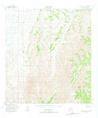
1952 Map of Unalakleet A-5
USGS Topo · Published 1975About this map
The Golsovia River and the Atchuelinguk River dominate this interior landscape, marking a remote segment of the Alaska wilderness as it was surveyed in the early 1950s. This terrain is defined by its drainage systems, where Otter Creek and the Swift River carve through the topography without any recorded roads or trails. The map illustrates a pure wilderness state, documenting the natural hydrologic patterns along the North Boundary Seward Meridian. At this scale, the sheet provides a meticulous record of the drainages feeding into larger Alaskan river systems, including Beaver Creek in the southeastern quadrant. The absence of human-made infrastructure emphasizes the area's isolation during the post-war era of aerial photogrammetric surveying.
Find a feature on this map
6 named features on this map. Tap any name to fly to it.
Don’t see what you’re looking for? This feature index may not catch every label — zoom into the map to look around manually.
Map Details
Editions of this 1952 Unalakleet A-5 Map
3 editions found
Other maps of this area

1951 · Unalakleet
USGS Topo · 1:250,000

1951 · Holy Cross
USGS Topo · 1:250,000

1952 · Unalakleet A-4
USGS Topo · 1:63,360

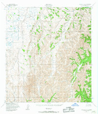
1952 · Unalakleet A-5
USGS Topo · 1:63,360

1952 · Unalakleet B-4
USGS Topo · 1:63,360

1952 · Unalakleet B-6
USGS Topo · 1:63,360

1952 · Holy Cross D-5
USGS Topo · 1:63,360

1952 · Holy Cross D-4
USGS Topo · 1:63,360

1952 · Unalakleet B-5
USGS Topo · 1:63,360

1952 · Unalakleet A-6
USGS Topo · 1:63,360