
1952 Map of Holy Cross D-4
USGS Topo · Published 1959About this map
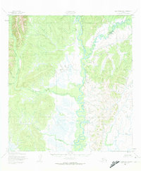
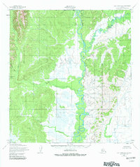
The Anyik River dominates this mid-century topographic study, winding through a complex network of wetlands and hills in the Yukon-Koyukuk region. Recorded in the early 1950s, the landscape reveals a quiet, river-dependent environment where human activity is sparse and functional. Small, isolated structures simply labeled Cabins and Cabin are positioned near the water's edge, likely serving as seasonal camps or trapping sites for those navigating the interior. The confluence of the Yellow River and the many tributaries such as Beaver Creek, Theodore Creek, and Goblet Creek define the drainage patterns of this Alaskan wilderness before the era of modern development. The map provides a clear picture of the natural topography, highlighting the contrast between the low-lying marshy plains and the surrounding high ground that overlooks the river valleys.
Find a feature on this map
7 named features on this map. Tap any name to fly to it.
Don’t see what you’re looking for? This feature index may not catch every label — zoom into the map to look around manually.
Map Details
Editions of this 1952 Holy Cross D-4 Map
3 editions found
Other maps of this area

1951 · Unalakleet
USGS Topo · 1:250,000

1951 · Holy Cross
USGS Topo · 1:250,000

1952 · Unalakleet A-4
USGS Topo · 1:63,360

1952 · Unalakleet A-3
USGS Topo · 1:63,360

1952 · Unalakleet A-5
USGS Topo · 1:63,360

1952 · Holy Cross C-5
USGS Topo · 1:63,360

1952 · Holy Cross D-5
USGS Topo · 1:63,360

1952 · Holy Cross D-3
USGS Topo · 1:63,360

1952 · Holy Cross C-3
USGS Topo · 1:63,360

1952 · Holy Cross C-4
USGS Topo · 1:63,360