
1952 Map of Holy Cross C-5
USGS Topo · Published 1959About this map
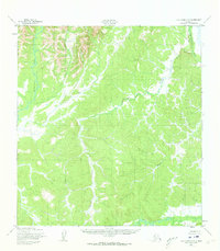
The Chuilnak River and Hawk River dominate this interior landscape, mapped during the early 1950s when much of the Alaskan wilderness was first being surveyed using modern photogrammetric methods. This particular area, situated between the Yukon and Kuskokwim watersheds, is defined by its complex drainage systems rather than human settlements. The map illustrates a dense network of unnamed ridges and valleys, where only the primary waterways like the Bonasila River and the meandering Jackson Creek were significant enough to be named in the original survey. The absence of roads or trails, as noted by the U.S. Geological Survey at the time, highlights the territory's isolation prior to significant modern development. Tributaries like Roberts Creek provide the only identifiable landmarks in a terrain characterized by its uniform, rolling topography.
Find a feature on this map
5 named features on this map. Tap any name to fly to it.
Don’t see what you’re looking for? This feature index may not catch every label — zoom into the map to look around manually.
Map Details
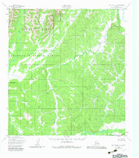
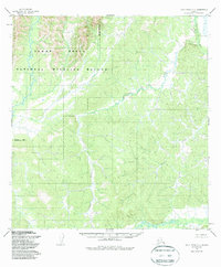
Editions of this 1952 Holy Cross C-5 Map
4 editions found
Other maps of this area

1951 · Holy Cross
USGS Topo · 1:250,000

1952 · Holy Cross C-6
USGS Topo · 1:63,360

1952 · Holy Cross D-5
USGS Topo · 1:63,360

1952 · Holy Cross D-4
USGS Topo · 1:63,360

1952 · Holy Cross B-6
USGS Topo · 1:63,360

1952 · Holy Cross B-5
USGS Topo · 1:63,360

1952 · Holy Cross C-4
USGS Topo · 1:63,360
1952 · Holy Cross D-6
USGS Topo · 1:63,360

1952 · Holy Cross B-4
USGS Topo · 1:63,360

1952 · Holy Cross
USGS Topo · 1:250,000