
1952 Map of Holy Cross
USGS Topo · Published 1960About this map
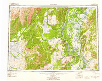
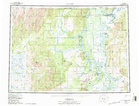
The Yukon River and Innoko River dominate this interior Alaskan landscape, where the seasonal movement of water and people defines the geography. At the confluence of these waterways, the village of Anvik serves as a primary settlement point, while Shageluk and Holikachuk anchor the winding sloughs of the east. This 1952 survey, compiled by the Army Map Service, documents a pre-statehood era when terrestrial movement relied heavily on the Winter Trail and Reindeer Trail networks connecting the remote drainages. The map reveals the intricate network of islands like Horse Island and Turtle Island that shift within the broad river valleys. Surrounded by the Illivit Mountains and Holy Cross Hills, the region shows evidence of resource exploration at an unnamed Mine and significant topographical landmarks such as Two Spot Mountain and Bonasila Dome.
Find a feature on this map
67 named features on this map. Tap any name to fly to it.
Don’t see what you’re looking for? This feature index may not catch every label — zoom into the map to look around manually.
Map Details
Editions of this 1952 Holy Cross Map
7 editions found
Other maps of this area

1947 · Russian Mission
USGS Topo · 1:250,000

1950 · Russian Mission
USGS Topo · 1:250,000

1950 · Sleetmute
USGS Topo · 1:250,000

1951 · Ophir
USGS Topo · 1:250,000

1951 · Marshall
USGS Topo · 1:250,000

1951 · Unalakleet
USGS Topo · 1:250,000

1951 · St Michael
USGS Topo · 1:250,000

1951 · Holy Cross
USGS Topo · 1:250,000

1951 · Iditarod
USGS Topo · 1:250,000

1951 · Holy Cross A-5
USGS Topo · 1:63,360