
1952 Map of Holy Cross B-4
USGS Topo · Published 1959About this map
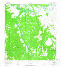
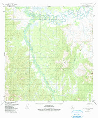
The Bonasila River snakes across this subarctic landscape, characterized by complex oxbows and marshy lowlands in its northern reaches. Photographed in the early 1950s, the terrain transitions from these water-logged flats into the significant elevations of the southern interior. The Stuyahok River carves a winding path through the center of the quadrangle, serving as a primary drainage for the surrounding highlands. Distinctive landmarks such as Two Spot Mountain and Bonasila Dome rise sharply from the river valleys, providing essential navigational points in a region without established roads or trails. This survey, mapped by the Army Map Service, documents a wilderness defined by its intricate hydrography, including the Stanstrom Creek and Hawk River systems, before any modern infrastructure altered the drainage patterns.
Find a feature on this map
6 named features on this map. Tap any name to fly to it.
Don’t see what you’re looking for? This feature index may not catch every label — zoom into the map to look around manually.
Map Details
Editions of this 1952 Holy Cross B-4 Map
3 editions found
Other maps of this area

1951 · Holy Cross
USGS Topo · 1:250,000

1951 · Holy Cross A-5
USGS Topo · 1:63,360

1952 · Holy Cross A-4
USGS Topo · 1:63,360

1952 · Holy Cross C-5
USGS Topo · 1:63,360

1952 · Holy Cross B-3
USGS Topo · 1:63,360

1952 · Holy Cross B-5
USGS Topo · 1:63,360

1952 · Holy Cross C-3
USGS Topo · 1:63,360

1952 · Holy Cross A-3
USGS Topo · 1:63,360

1952 · Holy Cross C-4
USGS Topo · 1:63,360

1952 · Holy Cross
USGS Topo · 1:250,000