
1952 Map of Holy Cross A-3
USGS Topo · Published 1959About this map
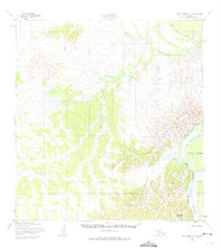
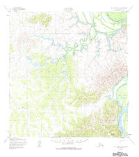
The Holy Cross Mountains dominate the southwestern interior of Alaska in this early 1950s survey, where the peaks descend into a complex network of waterways and wetlands. The Yukon River flows along the eastern edge of the quadrangle, creating a dynamic riparian landscape of islands and side channels, including the prominent Horse Island and the meandering Big Bend Slough. To the north, the Koserefski River snakes through the lowlands, joined by smaller drainages like Mountain Creek.
Find a feature on this map
9 named features on this map. Tap any name to fly to it.
Don’t see what you’re looking for? This feature index may not catch every label — zoom into the map to look around manually.
Map Details
Editions of this 1952 Holy Cross A-3 Map
3 editions found
Other maps of this area

1947 · Russian Mission
USGS Topo · 1:250,000

1950 · Russian Mission
USGS Topo · 1:250,000

1951 · Holy Cross
USGS Topo · 1:250,000

1952 · Holy Cross B-2
USGS Topo · 1:63,360

1952 · Holy Cross A-2
USGS Topo · 1:63,360

1952 · Holy Cross A-4
USGS Topo · 1:63,360

1952 · Holy Cross B-3
USGS Topo · 1:63,360

1952 · Holy Cross B-4
USGS Topo · 1:63,360

1952 · Holy Cross
USGS Topo · 1:250,000

1952 · Russian Mission D-3
USGS Topo · 1:63,360