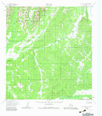
1952 Map of Holy Cross C-5
USGS Topo · Published 1982About this map
The Yukon Delta National Wildlife Refuge dominates this sub-arctic landscape, where a dense network of waterways carves through the undulating terrain. The western portion of the sheet is defined by the Atchuelinguk River, which snakes through lowlands alongside the Refuge Boundary. To the east and south, the hydrology becomes increasingly complex as the Jackson Creek and Roberts Creek drainage systems feed into larger arteries like the Hawk River.
Find a feature on this map
8 named features on this map. Tap any name to fly to it.
Don’t see what you’re looking for? This feature index may not catch every label — zoom into the map to look around manually.
Map Details
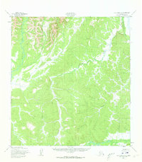
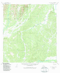
Editions of this 1952 Holy Cross C-5 Map
4 editions found
Other maps of this area

1951 · Holy Cross
USGS Topo · 1:250,000

1952 · Holy Cross C-6
USGS Topo · 1:63,360

1952 · Holy Cross C-5
USGS Topo · 1:63,360

1952 · Holy Cross D-5
USGS Topo · 1:63,360

1952 · Holy Cross D-4
USGS Topo · 1:63,360

1952 · Holy Cross B-6
USGS Topo · 1:63,360

1952 · Holy Cross B-5
USGS Topo · 1:63,360

1952 · Holy Cross C-4
USGS Topo · 1:63,360
1952 · Holy Cross D-6
USGS Topo · 1:63,360

1952 · Holy Cross B-4
USGS Topo · 1:63,360