
1952 Map of Unalakleet A-6
USGS Topo · Published 1959About this map
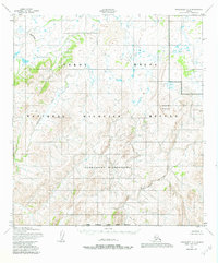
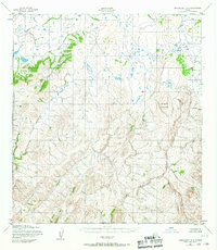
East Fork Andreafsky River winds through the southeastern corner of this Alaskan interior terrain, representing one of the few named water systems in an area defined by complex elevation contours and high ridges. The landscape is characterized by a dense network of unnamed drainages and steep valleys that feed into these primary river corridors. In the northwestern quadrant, the Nonvalnuk River serves as the dominant hydrological feature, cutting through the high country. Mapped in the early 1950s using photogrammetric methods from aerial photography, this survey captures a remote wilderness without established roads or trails. The map serves as a primary record of the natural topography and watershed boundaries in this portion of the Alaskan bush during the mid-twentieth century, emphasizing the prominence of the East Fork Andreafsky River and its surrounding peaks.
Find a feature on this map
2 named features on this map. Tap any name to fly to it.
Don’t see what you’re looking for? This feature index may not catch every label — zoom into the map to look around manually.
Map Details
Editions of this 1952 Unalakleet A-6 Map
3 editions found
Other maps of this area

1951 · Unalakleet
USGS Topo · 1:250,000

1951 · St Michael
USGS Topo · 1:250,000

1951 · Holy Cross
USGS Topo · 1:250,000

1952 · Kwiguk
USGS Topo · 1:250,000

1952 · Kwiguk D-1
USGS Topo · 1:63,360

1952 · Saint Michael B-1
USGS Topo · 1:63,360

1952 · Saint Michael A-1
USGS Topo · 1:63,360

1952 · Unalakleet A-5
USGS Topo · 1:63,360

1952 · Unalakleet B-6
USGS Topo · 1:63,360

1952 · Holy Cross D-5
USGS Topo · 1:63,360