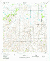
1952 Map of Unalakleet A-6
USGS Topo · Published 1982About this map
The Nunavulnuk River meanders across this northern landscape, marking a remote segment of the Yukon Delta National Wildlife Refuge. The terrain is defined by the convergence of the Andreafsky River and its East Fork Andreafsky River near the southern boundary of the Kateel River Meridian. This area, largely encompassed by the Andreafsky Wilderness, is dominated by high ground such as Iprugalet Mountain. The lack of road or trail labels during this early 1950s survey period reflects an environment managed for wilderness preservation, where the drainage patterns of the rivers dictated travel and access long before modern administrative boundaries were finalized.
Find a feature on this map
7 named features on this map. Tap any name to fly to it.
Don’t see what you’re looking for? This feature index may not catch every label — zoom into the map to look around manually.
Map Details
Editions of this 1952 Unalakleet A-6 Map
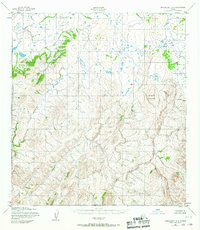
3 editions found

Other maps of this area

1951 · Unalakleet
USGS Topo · 1:250,000

1951 · St Michael
USGS Topo · 1:250,000

1951 · Holy Cross
USGS Topo · 1:250,000

1952 · Kwiguk
USGS Topo · 1:250,000

1952 · Kwiguk D-1
USGS Topo · 1:63,360

1952 · Saint Michael B-1
USGS Topo · 1:63,360

1952 · Saint Michael A-1
USGS Topo · 1:63,360

1952 · Unalakleet A-5
USGS Topo · 1:63,360

1952 · Unalakleet B-6
USGS Topo · 1:63,360

1952 · Holy Cross D-5
USGS Topo · 1:63,360