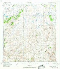
1952 Map of Unalakleet A-6
USGS Topo · Published 1987About this map
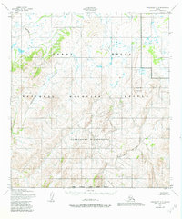
Iprugalet Mountain dominates the eastern portion of this 1952 topographic study, rising above a network of drainages that feed the Yukon River system. The landscape is defined by the winding course of the Andreafsky River and its tributary, the East Fork Andreafsky River, which carve deep valleys through the western terrain. Farther north, the Nunivak River flows through a broader, lake-dotted basin.
Find a feature on this map
5 named features on this map. Tap any name to fly to it.
Don’t see what you’re looking for? This feature index may not catch every label — zoom into the map to look around manually.
Map Details
Editions of this 1952 Unalakleet A-6 Map
3 editions found

Other maps of this area

1951 · Unalakleet
USGS Topo · 1:250,000

1951 · St Michael
USGS Topo · 1:250,000

1951 · Holy Cross
USGS Topo · 1:250,000

1952 · Kwiguk
USGS Topo · 1:250,000

1952 · Kwiguk D-1
USGS Topo · 1:63,360

1952 · Saint Michael B-1
USGS Topo · 1:63,360

1952 · Saint Michael A-1
USGS Topo · 1:63,360

1952 · Unalakleet A-5
USGS Topo · 1:63,360

1952 · Unalakleet B-6
USGS Topo · 1:63,360

1952 · Holy Cross D-5
USGS Topo · 1:63,360