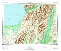
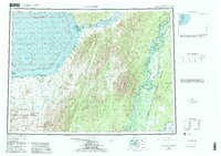
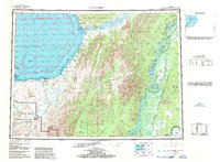
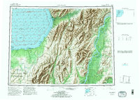
1952 Map of Unalakleet
USGS Topo · Published 1972About this map
Unalakleet sits at the mouth of the Unalakleet River along Norton Sound, serving as a critical coastal hub where the Kaltag Portage begins its overland route toward the interior. This 1952 survey documents the complex delta and mountain systems of western Alaska, where the mighty Yukon River carves a massive path through the Kaiyuh Mountains. The landscape is defined by its seasonal transport corridors, including a prominent Winter Trail stretching across the tundra toward the coastal bluffs.
Find a feature on this map
100 named features on this map. Tap any name to fly to it.
Don’t see what you’re looking for? This feature index may not catch every label — zoom into the map to look around manually.
Map Details
Editions of this 1952 Unalakleet Map
8 editions found

Other maps of this area

1945 · Nulato
USGS Topo · 1:250,000

1948 · Norton Bay
USGS Topo · 1:250,000

1950 · Solomon
USGS Topo · 1:250,000

1950 · Unalakleet D-3
USGS Topo · 1:63,360

1950 · Norton Bay A-4
USGS Topo · 1:63,360

1950 · Norton Bay A-3
USGS Topo · 1:63,360

1950 · Unalakleet D-4
USGS Topo · 1:63,360

1951 · Ophir
USGS Topo · 1:250,000

1951 · Nulato
USGS Topo · 1:250,000

1951 · Unalakleet
USGS Topo · 1:250,000