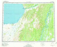
1952 Map of Unalakleet
USGS Topo · Published 1972About this map
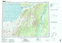
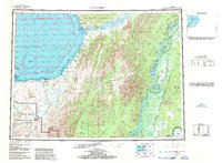
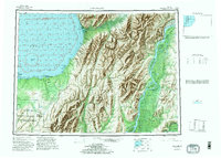
Unalakleet (Native Reservation) stands as a vital coastal hub along Norton Sound in this mid-century portrait of western Alaska. The map traces the essential Winter Trail as it follows the coastline past Fivemile Pt and Wood Pt, connecting remote outposts like Golsovia to the larger river systems. The interior is defined by a dense network of waterways, including the Unalakleet River and the sweeping curves of the Yukon River to the east, where Blackburn Island and Fox Point Island navigate the braided channels.
Find a feature on this map
87 named features on this map. Tap any name to fly to it.
Don’t see what you’re looking for? This feature index may not catch every label — zoom into the map to look around manually.
Map Details
Editions of this 1952 Unalakleet Map
8 editions found

Other maps of this area

1945 · Nulato
USGS Topo · 1:250,000

1948 · Norton Bay
USGS Topo · 1:250,000

1950 · Solomon
USGS Topo · 1:250,000

1950 · Unalakleet D-3
USGS Topo · 1:63,360

1950 · Norton Bay A-4
USGS Topo · 1:63,360

1950 · Norton Bay A-3
USGS Topo · 1:63,360

1950 · Unalakleet D-4
USGS Topo · 1:63,360

1951 · Ophir
USGS Topo · 1:250,000

1951 · Nulato
USGS Topo · 1:250,000

1951 · Unalakleet
USGS Topo · 1:250,000