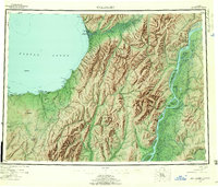
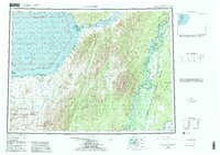
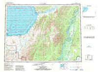
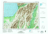
1952 Map of Unalakleet
USGS Topo · Published 1960About this map
Unalakleet (Native Reservation) anchors this coastal landscape along the Norton Sound, where river networks and seasonal trails defined movement in the early 1950s. The inland geography is dominated by the massive Yukon River system, featuring numerous islands such as Alice Island, Blackburn Island, and Bullfrog Island. This era captures the intersection of traditional routes and modern infrastructure, evidenced by the Commercial Airport and Radio Towers near the coast, contrasted with the inland Winter Trail and Portage Trail. Resource extraction is noted at sites like the Williams Mine and McLeod Prospect, while the rugged interior is punctuated by landmarks like Mt McDonald and The Sisters. The coastal margin is deeply indented with coves and harbors, including Nunovulnuk Hbr and Shorty Cove, marking a transition from the marine environment to the heavily glaciated drainages of the Chiroskey River and Anvik River.
Find a feature on this map
97 named features on this map. Tap any name to fly to it.
Don’t see what you’re looking for? This feature index may not catch every label — zoom into the map to look around manually.
Map Details
Editions of this 1952 Unalakleet Map
8 editions found

Other maps of this area

1945 · Nulato
USGS Topo · 1:250,000

1948 · Norton Bay
USGS Topo · 1:250,000

1950 · Solomon
USGS Topo · 1:250,000

1950 · Unalakleet D-3
USGS Topo · 1:63,360

1950 · Norton Bay A-4
USGS Topo · 1:63,360

1950 · Norton Bay A-3
USGS Topo · 1:63,360

1950 · Unalakleet D-4
USGS Topo · 1:63,360

1951 · Ophir
USGS Topo · 1:250,000

1951 · Nulato
USGS Topo · 1:250,000

1951 · Unalakleet
USGS Topo · 1:250,000