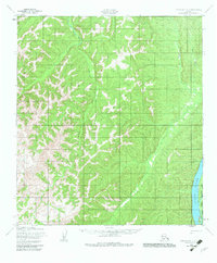
1952 Map of Unalakleet C-2
USGS Topo · Published 1982About this map
The Yukon River defines the southeastern corner of this Alaskan interior landscape, where it borders the Innoko National Wildlife Refuge. This 1952 topographic study, compiled from aerial photographs, illustrates the winding course of the Old Woman River as it traverses the central terrain. The land is characterized by dense drainage networks and high ridges, with Bear Creek flowing through the northeastern portion of the quadrangle. Because these land lines represent unsurveyed and unmarked locations predetermined by the Bureau of Land Management, the map offers a specific view of the Alaskan wilderness before more modern cadastral surveys were established. The presence of the wildlife refuge boundary reflects the late-20th-century conservation designations layered over mid-century topographic data.
Find a feature on this map
4 named features on this map. Tap any name to fly to it.
Don’t see what you’re looking for? This feature index may not catch every label — zoom into the map to look around manually.
Map Details
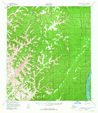
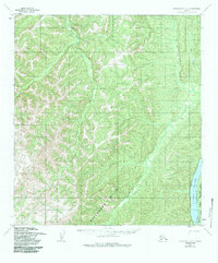
Editions of this 1952 Unalakleet C-2 Map
4 editions found
Other maps of this area

1950 · Unalakleet D-3
USGS Topo · 1:63,360

1951 · Unalakleet
USGS Topo · 1:250,000

1952 · Unalakleet C-2
USGS Topo · 1:63,360

1952 · Unalakleet D-2
USGS Topo · 1:63,360

1952 · Unalakleet C-3
USGS Topo · 1:63,360

1952 · Unalakleet B-3
USGS Topo · 1:63,360

1952 · Unalakleet C-1
USGS Topo · 1:63,360

1952 · Unalakleet B-2
USGS Topo · 1:63,360

1952 · Unalakleet B-1
USGS Topo · 1:63,360

1952 · Unalakleet D-1
USGS Topo · 1:63,360