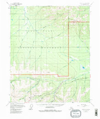
1955 Map of Circle C-3
USGS Topo · Published 1981About this map
Crazy Mountains rise above the drainage basins of the Yukon Flats National Monument in this mid-century topographic record. The landscape is defined by the sharp transition from the highland ridges to the complex creek systems that fed the region's early industry. Along the southern corridor, the Steese Highway provides the primary artery through the valley, passing the Miller House (Site) and several scattered cabins that indicate a sparse but persistent presence of miners and trappers.
Find a feature on this map
38 named features on this map. Tap any name to fly to it.
Don’t see what you’re looking for? This feature index may not catch every label — zoom into the map to look around manually.
Map Details
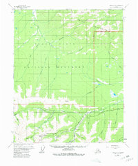
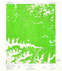
Editions of this 1955 Circle C-3 Map
4 editions found
Other maps of this area

1951 · Circle
USGS Topo · 1:250,000

1952 · Circle D-4
USGS Topo · 1:63,360

1952 · Circle D-3
USGS Topo · 1:63,360

1952 · Circle D-2
USGS Topo · 1:63,360

1952 · Circle B-4
USGS Topo · 1:63,360

1952 · Circle C-4
USGS Topo · 1:63,360

1955 · Circle B-3
USGS Topo · 1:63,360

1955 · Circle C-3
USGS Topo · 1:63,360

1955 · Circle C-2
USGS Topo · 1:63,360

1955 · Circle B-2
USGS Topo · 1:63,360