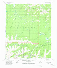
1955 Map of Circle C-3
USGS Topo · Published 1961About this map
The Steese Highway cuts through the southern portion of this interior landscape, providing the primary access point for prospectors and travelers during the mid-1950s. The map illustrates a region transitioning from the alpine heights of the Crazy Mountains and Pinnell Mtn down into the expansive Yukon Flats, part of which is designated as the Yukon Flats National Monument.
Find a feature on this map
39 named features on this map. Tap any name to fly to it.
Don’t see what you’re looking for? This feature index may not catch every label — zoom into the map to look around manually.
Map Details
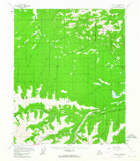
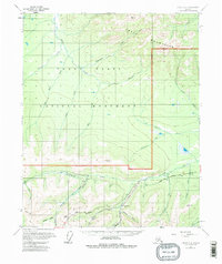
Editions of this 1955 Circle C-3 Map
4 editions found
Other maps of this area

1951 · Circle
USGS Topo · 1:250,000

1952 · Circle D-4
USGS Topo · 1:63,360

1952 · Circle D-3
USGS Topo · 1:63,360

1952 · Circle D-2
USGS Topo · 1:63,360

1952 · Circle B-4
USGS Topo · 1:63,360

1952 · Circle C-4
USGS Topo · 1:63,360

1955 · Circle B-3
USGS Topo · 1:63,360

1955 · Circle C-3
USGS Topo · 1:63,360

1955 · Circle C-2
USGS Topo · 1:63,360

1955 · Circle B-2
USGS Topo · 1:63,360