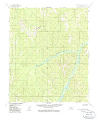
1955 Map of Kateel River B-6
USGS Topo · Published 1985About this map
The Continental Divide winds across the northern reaches of this interior Alaska landscape, marking the high ground between major drainage basins. This mid-century survey captures the winding course of the Kateel River as it cuts through the central and southern portions of the map, fed by countless unnamed tributaries draining from the surrounding ridges. To the northwest, the headwaters of the Tagagawik River emerge from the divide, flowing toward the Kobuk-Selawik lowlands. The presence of the Kateel Meridian and the Base Line intersection serves as a primary survey point for the region's rectangular land system, establishing the formal grid for this vast, unpopulated wilderness before any modern infrastructure or permanent settlements were documented.
Find a feature on this map
5 named features on this map. Tap any name to fly to it.
Don’t see what you’re looking for? This feature index may not catch every label — zoom into the map to look around manually.
Map Details
Editions of this 1955 Kateel River B-6 Map
2 editions found
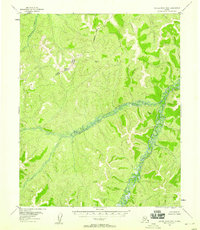
Other maps of this area

1951 · Candle
USGS Topo · 1:250,000

1951 · Kateel River
USGS Topo · 1:250,000
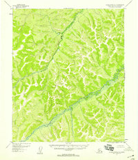
1952 · Kateel River A-5
USGS Topo · 1:63,360

1954 · Candle A-1
USGS Topo · 1:63,360

1954 · Kateel River B-5
USGS Topo · 1:63,360

1954 · Candle C-1
USGS Topo · 1:63,360

1954 · Candle B-1
USGS Topo · 1:63,360

1954 · Kateel River C-6
USGS Topo · 1:63,360
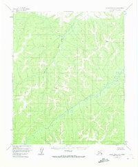
1954 · Kateel River A-5
USGS Topo · 1:63,360

1955 · Kateel River B-5
USGS Topo · 1:63,360