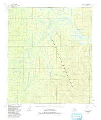
1953 Map of Ruby B-3
USGS Topo · Published 1982About this map
Nowitna River meanders across this interior Alaskan landscape, defining a complex network of oxbow lakes and wetlands within what would later be designated the Nowitna National Wildlife Refuge. The terrain is characterized by the prominent Monzonite Hills in the northwest, rising above the low-lying drainage basins of the Lost River and Little Mud River. Mapped primarily through aerial photography in the early 1950s, the sheet reveals a wilderness devoid of roads or permanent settlements, emphasizing the seasonal and fluid nature of the watercourses that dominate the region's geography. The intricate loops of the rivers indicate a mature fluvial system where the landscape is constantly reshaped by the slow movement of water through the valley floor.
Find a feature on this map
5 named features on this map. Tap any name to fly to it.
Don’t see what you’re looking for? This feature index may not catch every label — zoom into the map to look around manually.
Map Details
Editions of this 1953 Ruby B-3 Map
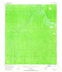
2 editions found
Other maps of this area

1951 · Ruby
USGS Topo · 1:250,000

1952 · Ruby A-2
USGS Topo · 1:63,360

1952 · Ruby B-2
USGS Topo · 1:63,360

1952 · Ruby A-3
USGS Topo · 1:63,360

1952 · Ruby A-4
USGS Topo · 1:63,360

1952 · Ruby C-3
USGS Topo · 1:63,360

1952 · Ruby B-4
USGS Topo · 1:63,360

1952 · Ruby C-2
USGS Topo · 1:63,360

1952 · Ruby B-3
USGS Topo · 1:63,360

1952 · Ruby C-4
USGS Topo · 1:63,360