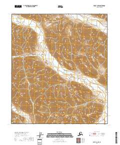
2018 Map of Arctic C-2 NW
USGS Topo · Published 2018About this map
Cane Creek winds through the high-elevation valleys of the Brooks Range in this 2018 U.S. Geological Survey representation of the North Slope. The terrain is defined by steep ridges and sharp drainage patterns, with Red Sheep Creek flowing through the northern sections and Flatrock Cr appearing in the southwest. This landscape remains largely defined by its natural watercourses and the Public Land Survey System grid, which includes boundaries for t8s r29e, t8s r30e, t9s r30e, and t9s r31e. The absence of roads or permanent structures on the sheet reflects the extreme isolation of this portion of the North Slope Borough, where the geography is shaped almost entirely by alpine hydrology and significant vertical relief.
Find a feature on this map
7 named features on this map. Tap any name to fly to it.
Don’t see what you’re looking for? This feature index may not catch every label — zoom into the map to look around manually.
Map Details
Editions of this 2018 Arctic C-2 NW Map
This is the sole edition of this map. No revisions or reprints were ever made.
Other maps of this area

1951 · Arctic
USGS Topo · 1:250,000

1956 · Arctic
USGS Topo · 1:250,000

1983 · Arctic C-3
USGS Topo · 1:63,360
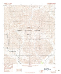
1983 · Arctic D-2
USGS Topo · 1:63,360

1983 · Arctic C-2
USGS Topo · 1:63,360
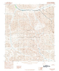
1983 · Arctic D-3
USGS Topo · 1:63,360
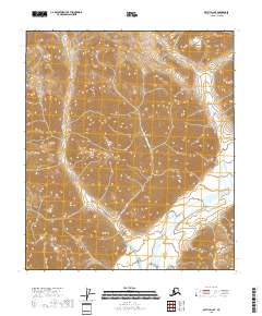
2018 · Arctic D-2 SE
USGS Topo · 1:25,000
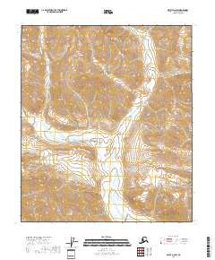
2018 · Arctic D-2 SW
USGS Topo · 1:25,000
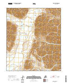
2018 · Arctic C-2 NE
USGS Topo · 1:25,000
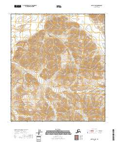
2018 · Arctic C-2 SE
USGS Topo · 1:25,000