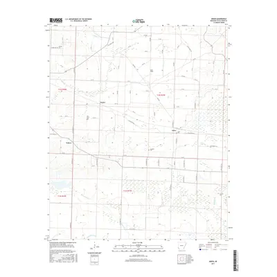
2017 Map of Arden
USGS Topo · Published 2017About this map
Arden and Wallace anchor this Little River County landscape, where the flatlands of Gum Flats meet a complex network of waterways. The geography is defined by the slow movement of water through Walnut Bayou, E Flat Cr, and Hemphill Cr, creating a terrain marked by oxbows and sloughs like Horseshoe Slough and Cattail Lake. This 2017 survey reveals a rural infrastructure built upon a grid of county roads, connecting small settlements and family-named landmarks. Genealogists will find significant value in the distribution of burial sites across the township lines, including Gravelly Cem, Pine Grove Cem, Arden Cem, Bradshaw Cem, and Hemphill Cem. The transition from the northern uplands near Gravelly to the bayous in the south illustrates the agricultural and drainage patterns of the Red River valley region.
Find a feature on this map
84 named features on this map. Tap any name to fly to it.
Don’t see what you’re looking for? This feature index may not catch every label — zoom into the map to look around manually.
Map Details
Editions of this 2017 Arden Map
This is the sole edition of this map. No revisions or reprints were ever made.
Other maps of this area

1950 · Redbank
USGS Topo · 1:24,000

1950 · Ashdown West
USGS Topo · 1:24,000

1950 · Barkman
USGS Topo · 1:24,000

1950 · Falls Chapel
USGS Topo · 1:24,000

1950 · Winthrop
USGS Topo · 1:24,000

1951 · Winthrop
USGS Topo · 1:24,000

1951 · Redbank
USGS Topo · 1:24,000

1951 · Ashdown West
USGS Topo · 1:24,000

1951 · Falls Chapel
USGS Topo · 1:24,000

1951 · Barkman
USGS Topo · 1:24,000