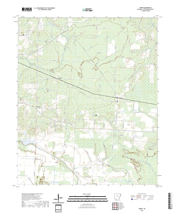
2024 Map of Arden
USGS Topo · Published 2024About this map
Arden and the small settlements of Pankov and Wallace define the rural landscape of Little River County in this modern survey. The geography is marked by a complex network of wetlands and drainage patterns, including Walnut Bayou and Hemphill Creek, which feed into oxbow-like features such as Horseshoe Slough and Cattail Lake. Large tracts of land are designated as part of the Farm Service Agency Interest of Arkansas, indicating significant agricultural or conservation management in the southern portion of the quadrangle.
Find a feature on this map
32 named features on this map. Tap any name to fly to it.
Don’t see what you’re looking for? This feature index may not catch every label — zoom into the map to look around manually.
Map Details
Editions of this 2024 Arden Map
This is the sole edition of this map. No revisions or reprints were ever made.
Other maps of this area

1950 · Redbank
USGS Topo · 1:24,000

1950 · Ashdown West
USGS Topo · 1:24,000

1950 · Barkman
USGS Topo · 1:24,000

1950 · Falls Chapel
USGS Topo · 1:24,000

1950 · Winthrop
USGS Topo · 1:24,000

1951 · Winthrop
USGS Topo · 1:24,000

1951 · Redbank
USGS Topo · 1:24,000

1951 · Ashdown West
USGS Topo · 1:24,000

1951 · Falls Chapel
USGS Topo · 1:24,000

1951 · Barkman
USGS Topo · 1:24,000